-
x
Free Adventure Day
Entry fees waived at all NV State Parks this Saturday, June 13, 2026. All other park fees still apply.
Learn More


get outdoors
Find a Park Event
Washoe Lake

June 13, 2026
Star Party
Read More
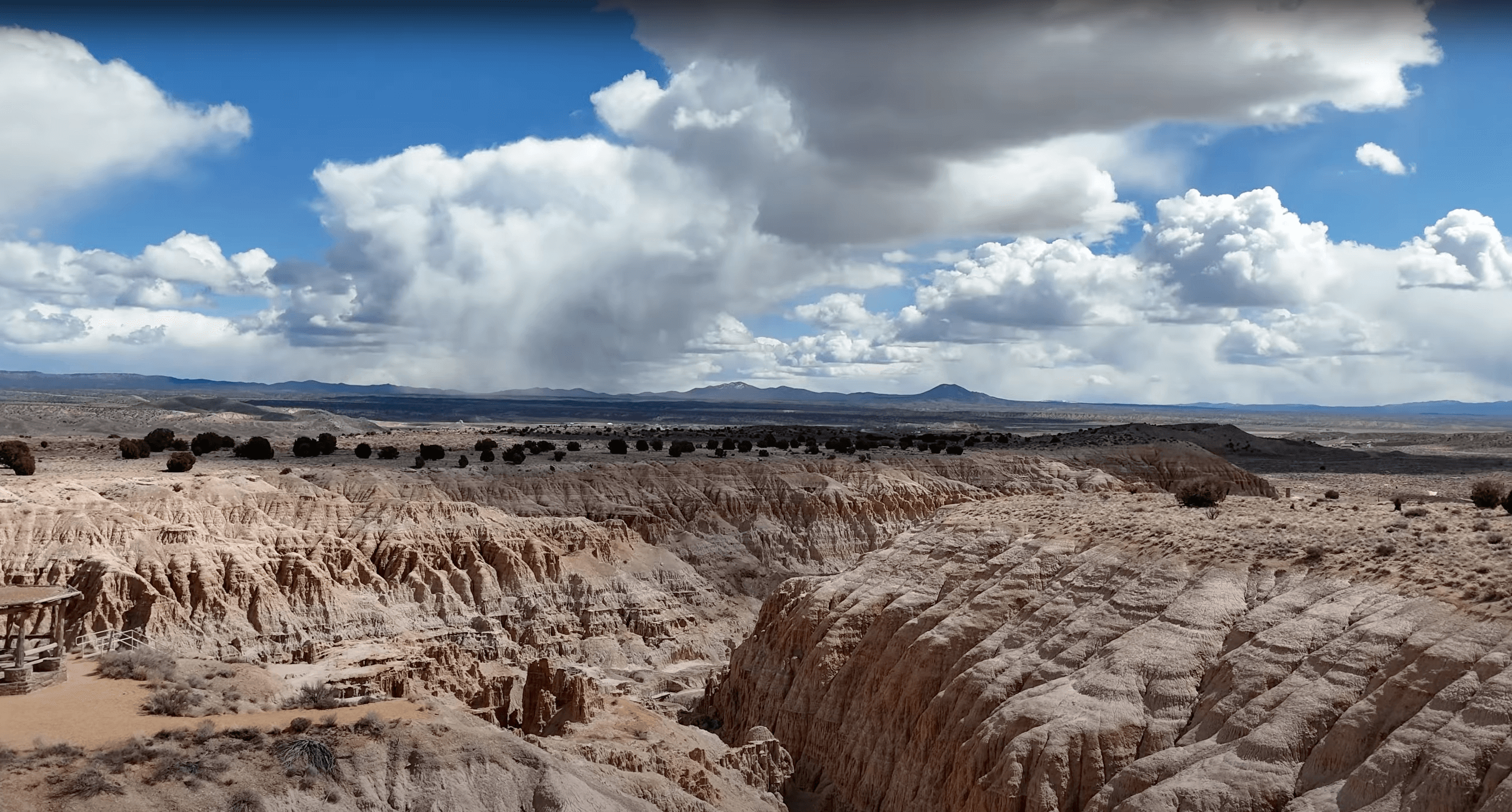
Ice Age Fossils
June 13, 2026
Night Hike
Read More
Kershaw-Ryan
June 13, 2026
Family Movie Night
Read More
Ice Age Fossils
June 14, 2026
Paper Bag Puppets
Read More
Buckland Station
June 14, 2026
Gold Fever
Read More
share discoveries
Photos from Park Adventurers
#NVstateparks
