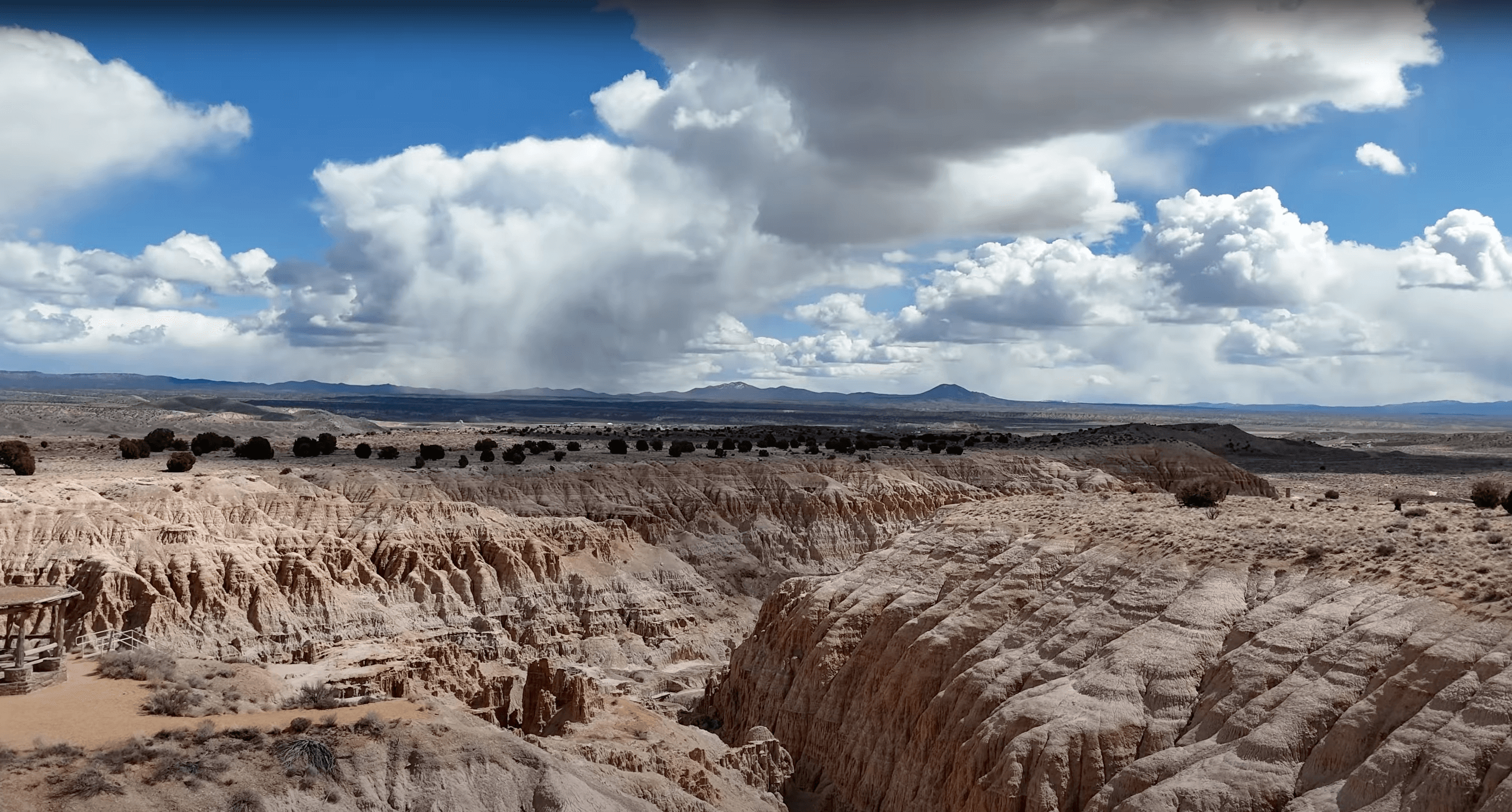
Big Bend of the Colorado Recreation Area
P.O. Box 32850
Laughlin, NV 89028-2850
(702) 298-1859
   Big Bend State Recreation Area is located five miles south of Laughlin on the Needles Highway. The park is within the town limits of Laughlin, one mile south of Casino Drive on South Needles Hwy.

Main entrance to Big Bend Location map to Big BendSee Map


Facilities & Amenities

Park Origin and History:

Big Bend is Nevada's newest state park, opening for operation in 1996. Situated on the shores of the Colorado River below Laughlin in Nevada's southern tip. The park offers dramatic views of the river and surrounding mountains. Popular activities are picnicking, boating, fishing and swimming. When completed, the park will also offer camping, hiking and group facilities. Although the town of Laughlin is also relatively new, it offers many amenities including casinos, golf courses and an outlet mall.

Natural Resources:

The Colorado River is the main attraction to the park. Because the park is located just down stream of Davis Dam, the river is clear and cool year round. Although the park has approximately 2 miles of shoreline and riparian areas, the majority of the park comprised of canyons and washes. While there are not yet any developed trails, these areas are rich with beautiful formations and scenic view points.

The river attracts a variety of waterfowl and shore birds including Mallards, coots, herons and geese. Hawks, roadrunners, quail, hummingbirds, doves and owls are also abundant in the park.

Common animals include cottontails, fox, raccoon, beaver, muskrat, coyote and an occasional bobcat or bighorn sheep. Several species of lizards and snakes inhabit the park, along with an occasional turtle along the river. Tamarisk and mesquite are the predominate trees in the park. You will also find several species of cactus.

Climate:

While summer temperatures can soar to 120 degrees Fahrenheit and above, spring and fall temperatures are usually very comfortable. Winters are very mild, with temperatures rarely dipping below freezing. Precipitation is very infrequent, but can cause flash floods in the area.

Facilities:

Entrance Fee: An entrance fee is charged to enter the park, with additional fees for camping and boat launch. A current fee schedule is posted at the park entrance. Click here for all individual park fees by region.

Camping:  22 RV sites with power and water hookups are now available. An additional $10 fee will be charged for these sites.  Showers are available.

Picnicking: Shade ramada's are located along the shoreline in both the day use and boat ramp areas. Some ramadas provide tables and barbecue grills.

Hiking: While the park does not yet have any developed trails, the canyons in the park offer areas for self exploration and day hikes.

Hours:   Normal hours for Day Use Area/Boat Ramp is 8:00 am-5:00 pm (winter hours) and 7:00 am-sunset (summer hours).


Reminders:

To make your visit and the visits of others more enjoyable, please observe the following rules:
  1. Operating unlicensed vehicles is not permitted. All vehicle operators must be licensed. Drive only on designated roadways.
  2. Pets must be kept on a leash no longer than 6' long.
  3. Trailers parking is not permitted in the Day Use parking area.
  4. Fires are permitted only in the grills provided.
  5. Use garbage dumpsters provided.
  6. Reserving sites is not permitted; all areas of the park are "first come, first serve."
  7. Creating a wake or exceeding 5 MPH in the Boat Ramp Lagoon is not permitted.

Special note: Boating and fishing on the Colorado River is regulated by Nevada, Arizona and California. Make sure you are familiar with the regulations and license requirements for each of the states.

You are responsible for knowing all park rules and regulations in effect. Detailed rules and regulations are posted at the park.
Some nearby sites and distances
10 miles to Davis Dam (Lake Mojave)
31 miles to Oatman (Historic Mining Area)
68 miles to Lake Havasu
100 miles to Las Vegas
230 miles Grand Canyon (South Rim)
250 miles to Los Angeles

Back to State Parks Image Map

Back to
State Parks Home Page